


Plose Brixen
Round trail hike across
the Plose Peak to the lodge Ochsenalm
The panoramic tour leads from the mountain station of the Plose gondola lift up to the lodge Plosehütte, from there to the Telegraph and then down to the lodge Ochsenalm. Along the Brixen Altitude Trail, it takes you back to the gondola lift, the starting point.
Panorama map


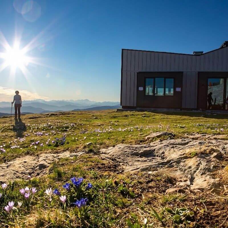
1 La Finestra
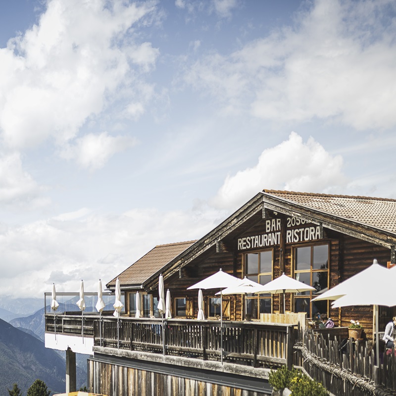
6 Rif. Plose Hütte
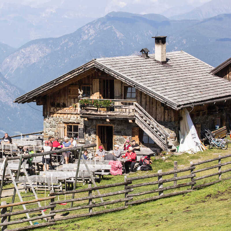
7 Rif. Ochsenalm
Round trail information
- Difficulty: medium – sure-footedness required along some sections
- Trail length: 10.8 km
- Mere walking time both ways: 3 h and 30 min.
- Ascent: 642 m
- Descent: 642 m
Directions
From the mountain station of the Plose gondola lift, the path leads briefly along the Brixen Altitude Trail no. 30 to the junction of the trails 3/7. Marking no. 7, the path runs along the slope of Schönjöchl to the saddle of the same name and further over the ridge to the lodge Plosehütte at 2447 m.
A short, almost level path, no. 6, leads to the Telegraph, which offers an excellent viewing platform. The panorama extends from the Zillertal Alps to the Dolomites, the Brenta group in the south and the Ortles massif in the west. A unique panoramic table explains the surrounding mountains in a simple yet clear way.
Now the descent to the lodge Ochsenalm begins. Surefootedness is required on the first section to the Leonharder Cross.
From the Ochsenalm, the Brixen Altitude Trail, marked no. 30, leads southwards at the upper limit of the Zirmhochwald on a more or less level course to Kreuztal / Val Croce, the starting point of the hike. Numerous hollows and trenches on the western and north-western slopes of the Telegraph and finally also the pronounced Trametsch Trench below the Plosehütte are crossed.
Important: For hikes in the mountains you need proper equipment. Always wear sturdy shoes with non-slip soles, and bring rain protection, a warm jacket, even in summer, and plenty of water with you. Hiking at your own risk.
Smart Travel
Bus connections from Brixen
to the Plose gondola lift
Current bus schedule
Valid until 12.12.2026
The tariffs and travel conditions of the South Tyrolean Transport Association apply. Passengers must be in possession of a valid ticket. Tickets may also be purchased on the bus.
Your ticket
Info & Plose Shop
For this tour you need a return ticket (both ways) for the PLOSE gondola lift.
Go to the Ticketshop.
Your lodges
Overview alpine huts

Your lodges along the hiking trail
Round trail hike across
the Plose Peak to the lodge Ochsenalm


Panorama map
Round trail hike across
the Plose Peak to the lodge Ochsenalm
Highlight

On Mount Telegraph, the panorama table specially developed for the hiking area Plose explains the surrounding mountain world, from the Zillertal Alps to the Dolomites, the Brenta Group in the south and far into the Ortles massif to the west.

During the alpine rose season, the landscape offers a truly exceptional spectacle. The steep slopes of Mount Plose shine brilliantly in red and provide an enchanting natural spectacle. Flowering occurs annually between late June and mid-July.
Plose Brixen Dolomites
This might also interest you
Woodywalk
Mountainbike
Mountaincarts
Plose Events
-web")
Small and fine events
At a glance.
Plose News
More time, more experiences
Sun skiing on Plose
Ready for winter?