


Plose Brixen
Three Peaks Tour
The ridge crossing of the entire Plose massif leads first to the Telegraph with a panoramic table, then east to the Pfannspitze and on to the Gabler, the highest peak in the group. This longer but easy day tour offers great panoramic highlights.
Panorama map


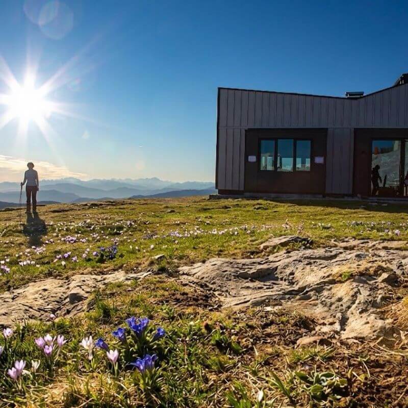
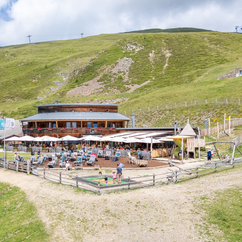
1 La Finestra
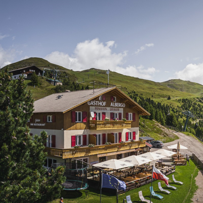
2 Rif. Geisler
3 Rif. Rossalm
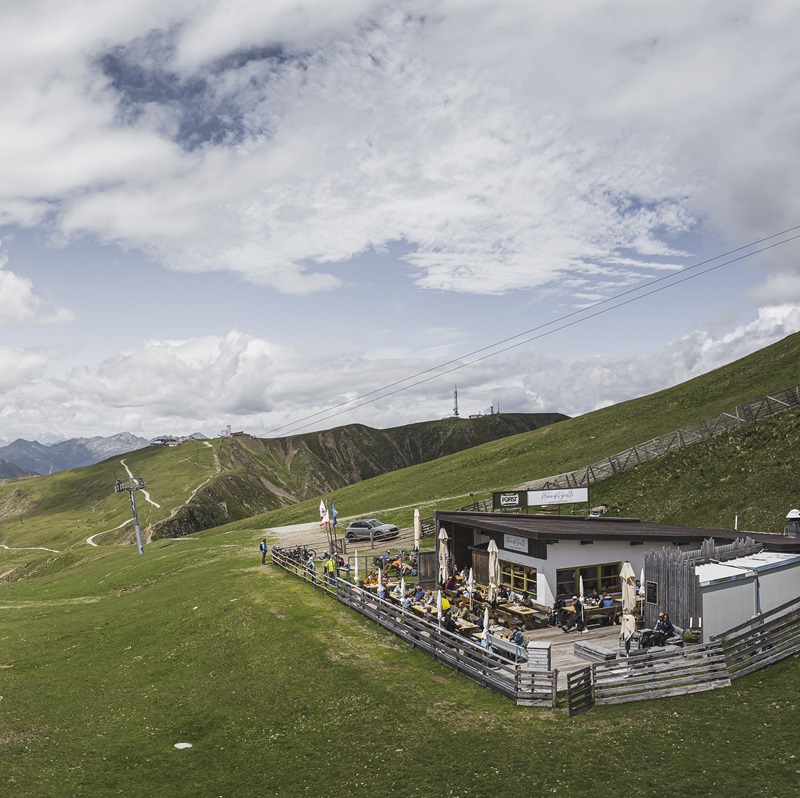
4 Rif. Monte Fana / Pfannspitzhütte
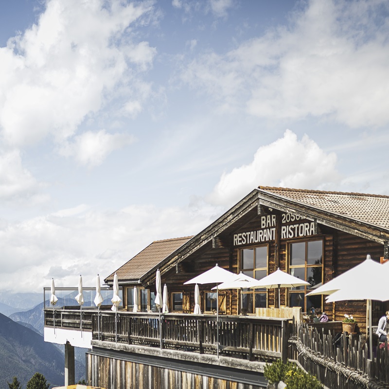
6 Rif. Plose Hütte
Info Three Peaks Tour
- Difficulty: medium Sure-footedness is essential for ascents to Mount Gabler.
- Trail length: 15.1 km
- Mere walking time both ways: 4 h and 30 min.
- Ascent: 752 m
- Descent: 752 m
- Markings: 30, 7, 14 in direction Kreuztal / Val Croce
Directions
From the mountain station of the Plose gondola lift, trail no. 30 heads north-east, soon turning 180 degrees and following markers 3-7. Both markers lead to Mount Plose, path no. 3 over the Schönjöchl, a wonderful vantage point, path no. 7 winds along the slopes until they meet again, then further uphill to the lodge Plosehütte at 2,447 m. Only a few hundred meters further is the Telegraph, 2,486 m, with a panorama table. The path leads back to the lodge Plosehütte following marking 7, first downhill into the Lüsner Scharte, then up again, past the lodge Pfannspitze and the mountain station of the gondola lift to the Pfannspitze at 2,545 m. From there always follow the marking 7 on to Mount Gabler, 2,576 m. The last part of the way is equipped with wire ropes and requires sure-footedness.
The view over the wide alpine meadows into the magnificent world of the Dolomites is truly fabulous. The descent is via the ridge of Mount Gabler on path no. 7 to the lodge Hinteralm (unserviced) and from there via the service path, marking no. 14 via the lodge Rossalm back to the Plose gondola lift.
Important: For hikes in the mountains you need proper equipment. Always wear sturdy shoes with non-slip soles, and bring rain protection, a warm jacket, even in summer, and plenty of water with you. Hiking at your own risk.
Smart Travel
Bus connections from Brixen
to the Plose gondola lift
Current bus schedule
Valid until 12.12.2026
The tariffs and travel conditions of the South Tyrolean Transport Association apply. Passengers must be in possession of a valid ticket. Tickets may also be purchased on the bus.
Your ticket
Info & Plose Shop
For this tour you need a return ticket (both ways) for the PLOSE gondola lift.
Go to the Ticketshop.
Your lodges
Overview alpine huts

Your lodges along the hiking trail
Three Peaks Tour


Panorama map
Three Peaks Tour
Highlight

On Mount Telegraph, the panorama table specially developed for the hiking area Plose explains the surrounding mountain world, from the Zillertal Alps to the Dolomites, the Brenta Group in the south and far into the Ortles massif to the west.
")
Sheep, goats, cattle, and horses graze on the pastures. Alpine farming is an important part of this mountain landscape and a living tradition. Please be respectful, close pasture gates and don’t leave any rubbish. Thank you!
Plose Brixen Dolomites
This might also interest you
Woodywalk
Mountainbike
Mountaincarts
Plose Events
-web")
Small and fine events
At a glance.
Plose News
More time, more experiences
Sun skiing on Plose
Ready for winter?